Students in the M.S. Geology program will take the following courses to successfully complete the degree.
Applied digital field methods. Students develop research strategies, collect remote field observations, compile unit descriptions, measure stratigraphic sections, evaluate and interpret uncertainty in data, construct geologic maps and cross sections, and interpret natural hazard maps. Uses digital topographic overlays in Google Earth and remote data imported into GIS. Designed to prepare students for successful careers in the geosciences. 3 undergraduate hours. 3 graduate hours. May be repeated up to 6 hours, in separate terms if topics vary. Prerequisite: GEOL 411, GEOL 208 or GEOL 440, and one additional 400-level geology course, or permission of the instructor.
GEOL 407 | Foundations of CyberGIS & Geospatial Data Science
4 credit hours
Apply cyberGIS techniques to analyze and visualize geospatial data in Python, using advanced cyberinfrastructure and high-performance computing. (same as GEOG 407)
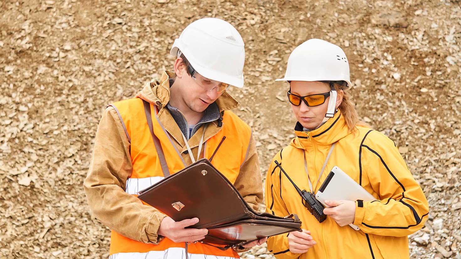
GEOL 416 | Applied Digital Geosciences
3 credit hours
The Applied Digital Geosciences course teaches students applied digital field methods to help a student prepare for successful careers in the geosciences. Students will develop research strategy skills, learn how to collect remote field observations, compile unit descriptions, measure stratigraphic sections, evaluate and interpret uncertainty in data, construct geologic maps and cross sections, and interpret natural hazard maps. The course uses digital topographic overlays in Google Earth and remote data imported into ArcGIS.
GEOL 450 | Investigating the Earth’s Interior
3 credit hours
Investigating the Earth’s Interior is an overview course that focuses on how geophysical methods such as seismology, magnetics, gravity, geodesy, and surface geology can help us understand the Earth from its surface to its core as well as its temporal evolution. Topics include the internal composition and dynamics of Earth, generation of Earth’s gravitational and geomagnetic fields, driving mechanisms for tectonic plate motion, continental deformation, and surface topography.
GEOL 451 | Environmental Geophysics
4 credit hours
This is a geophysical methods course providing practical applications of near-surface geophysical exploration. Students will gain hands-on training in geophysical survey design and basic data processing and analysis. Students will communicate their findings through both written geophysical data reports and oral presentations. Lectures will supplement data analysis to provide theory and background. A focus of the course will be on ground penetrating radar (GPR), resistivity, and electromagnetic induction methods with environmental and hydrological applications.
GEOL 454 | Introduction to Seismology
3 or 4 credit hours
This course is an introduction to seismology, the study of how seismic waves travel through the Earth. Students will learn the physics of seismic wave propagation, how seismometers record the motion of the ground, and how these records can be used to study the interior structure of the Earth. As part of this course, students will acquire theoretical background by watching pre-recorded lectures and complete a series of physics-based problem sets. A practical and applied experience is included in this courses via a virtual field survey where students will work with real world seismic data.
GEOL 481 | Earth Systems Modeling
4 credit hours
Introduces the fundamentals of python programming as applied to numerical modeling within the earth and environmental sciences. Students will identify key processes and relationships in systems, represent these elements numerically, use models to predict system behavior, and assess the validity of the model predictions. No computing background is required, but a prior course on integral calculus is strongly recommended. (same as ATMS 421)
GEOL 486 | Environmental Consulting
3 credit hours
Ever wondered about the role of an environmental consultant? Then GEOL 486 is for you! Join the Environmental Geology Faculty Coordinator, Dr. Cory Pettijohn in this broad survey of the fundamental science and U.S. policies underpinning the practices of environmental consultancy. This interdisciplinary field draws together engineers, geologists, environmental scientists, biologists, chemists, lawyers, social workers, social scientists, lobbyists and analysts. This course draws upon Dr. Pettijohn’s background as a private-sector consultant and describes the many pathways into environmental consulting and prepares students with fundamental policy and science concepts.
GEOL 500 | Environmental Geology Graduate Seminar
1 credit hour
This 1-hr. seminar provides students in the Environmental Geology M.S. and Graduate Certificate Programs exposure to current best practices, research, and specialized topics in environmental geology. While students are encouraged to attend the synchronous seminars, asynchronous options will be available using an interactive video educational tool (PlayPosit). Students will be required to participate asynchronously in online readings, discussions, and assignments before and after seminar presentations. This course may be repeated up to four (4) times!
GEOL 507 | GIS for Geology
4 credit hours
Students in this course will explore common applications of geographic information systems / science (GIS) in geology including examples involving environmental geology, geomorphology, water quality, natural hazards, and structural geology. This is an applied course that helps students develop practical skills using industry-standard GIS software. Case studies will be utilized where GIS analyses will be completed to produce written reports, maps, and presentations for a range of audiences.
GEOL 517 | Data Science for the Geosciences
4 credit hours
Build and apply basic-to-intermediate data science tools in Python to weather and climate data, to process, statistically analyze, visualize, and understand patterns, relationships, and changes in the data. (same as ATMS 517)
GEOL 565 | Water Chemistry & Bioremediation
4 credit hours
This course introduces students to surface water and groundwater remediation in the context of chemistry and microbiology using real-world problems and geochemical modeling software. Students will develop a foundational understanding of microbial metabolism as it relates to bioremediation including specific chemical reactions that are critical to contaminated water clean-up. Emphasis is placed on the integral roles of both abiotic and biotic chemical reactions that are critical to remediation of inorganic and organic contaminants, using geochemical modeling to apply chemical and biological principles to the analysis of remediation case-studies.
GEOL 572 | Hydrogeology with Python
4 credit hours
Join Illinois State Geological Survey Hydrogeologist, Dr. Daniel Abrams, to explore hydrogeologic concepts and real-world datasets using the coding language Python and associated packages (SciPy, NumPy, Pandas, Matplotlib, FloPy). Data will be imported from a variety of sources, then analyzed to develop scientific models, and finally visualized. Hands-on experience will be gained in: 1) evaluating well tests to determine aquifer properties, 2) developing geologic and potentiometric surfaces from observed data, and 3) understanding implications of boundary conditions (surface waters, faults) on regional groundwater flow.
GEOL 598 | Capstone Research Project
4 or 8 credit hours
This supervised individual research project is taken by students as the final requirement for the online Master’s degree in Environmental Geology. Students will apply theory and knowledge from their program coursework and conduct a research project in their profession through planning, research, and the collection, analysis, modeling, assimilation, and presentation of data. Student work closely with a faculty capstone advisor to customize and determine a project focus and expected outcomes for successful project completion and graduation.